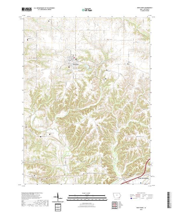
2022 Map of West Point
USGS Topo · Published 2022About this map
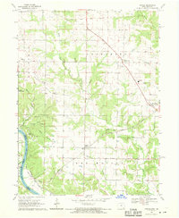
West Point serves as the central hub of this Lee County landscape, where the town grid transitions into a network of agricultural land and wooded creek valleys. The area is exceptionally dense with small family and community burial grounds, including the West Point Cem and Calvary Cem near the town center, as well as more isolated sites like the Van Hyning Cem and Whorton Cem scattered across the township. These cemeteries offer a detailed map of early settlement patterns and genealogical history in southeastern Iowa.
Find a feature on this map
56 named features on this map. Tap any name to fly to it.
Don’t see what you’re looking for? This feature index may not catch every label — zoom into the map to look around manually.
Map Details
Editions of this 2022 West Point Map
This is the sole edition of this map. No revisions or reprints were ever made.
Other maps of this area

1936 · Fort Madison
USGS Topo · 1:62,500

1958 · Burlington
USGS Topo · 1:250,000

1961 · Burlington
USGS Topo · 1:250,000

1963 · Burlington
USGS Topo · 1:250,000
1964 · Nauvoo
USGS Topo · 1:24,000

1964 · West Point
USGS Topo · 1:24,000
1964 · Niota
USGS Topo · 1:24,000
1964 · Fort Madison
USGS Topo · 1:24,000
1968 · Argyle
USGS Topo · 1:24,000

1968 · Donnellson
USGS Topo · 1:24,000