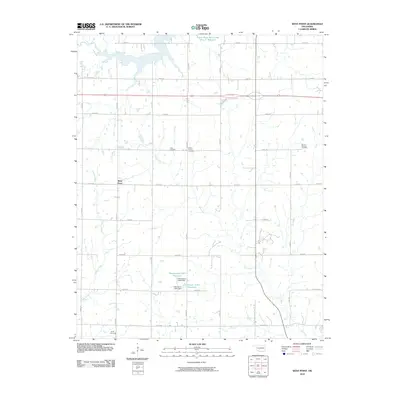
2010 Map of West Point
USGS Topo · Published 2010About this map
West Point sits at the heart of this North Central Oklahoma landscape, where the rural section-line road network defines the movement of residents across the prairie. The map reveals a community deeply rooted in its local heritage, evidenced by a cluster of burial grounds including Hopp Cemetery, Mount Vernon Cemetery, and Mount Pleasant Cemetery. These sites, often positioned near family farms, serve as vital markers for genealogists tracing early Oklahoma settlers.
Find a feature on this map
32 named features on this map. Tap any name to fly to it.
Don’t see what you’re looking for? This feature index may not catch every label — zoom into the map to look around manually.
Map Details
Editions of this 2010 West Point Map
This is the sole edition of this map. No revisions or reprints were ever made.
Other maps of this area

1929 · Yale
USGS Topo · 1:62,500

1929 · Ripley
USGS Topo · 1:62,500

1929 · Skedee
USGS Topo · 1:62,500

1930 · Pawnee
USGS Topo · 1:62,500

1931 · Skedee
USGS Topo · 1:62,500

1932 · Yale
USGS Topo · 1:62,500

1932 · Ripley
USGS Topo · 1:62,500

1936 · Pawnee
USGS Topo · 1:62,500

1955 · Enid
USGS Topo · 1:250,000

1958 · Enid
USGS Topo · 1:250,000