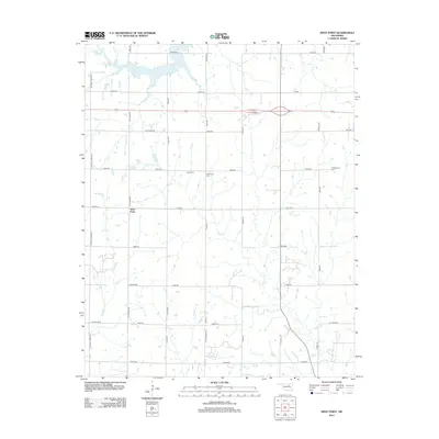
2013 Map of West Point
USGS Topo · Published 2013About this map
West Point occupies a central position in this rural Oklahoma landscape, where the agricultural grid is defined by an extensive network of local roads such as E0570 Rd and N Clay Rd. The terrain is drained by several meandering waterways, including Salt Creek, Feather Creek, and Camp Creek, which break the regularity of the section lines. For local historians and genealogists, the map provides precise locations for three burial grounds: Mt Pleasant Cem, Mt Vernon Cem, and Hopp Cem. These landmarks, along with the cluster of buildings at West Point, reflect the enduring rural settlement pattern of Payne County in the early 21st century.
Find a feature on this map
34 named features on this map. Tap any name to fly to it.
Don’t see what you’re looking for? This feature index may not catch every label — zoom into the map to look around manually.
Map Details
Editions of this 2013 West Point Map
This is the sole edition of this map. No revisions or reprints were ever made.
Other maps of this area

1929 · Yale
USGS Topo · 1:62,500

1929 · Ripley
USGS Topo · 1:62,500

1929 · Skedee
USGS Topo · 1:62,500

1930 · Pawnee
USGS Topo · 1:62,500

1931 · Skedee
USGS Topo · 1:62,500

1932 · Yale
USGS Topo · 1:62,500

1932 · Ripley
USGS Topo · 1:62,500

1936 · Pawnee
USGS Topo · 1:62,500

1955 · Enid
USGS Topo · 1:250,000

1958 · Enid
USGS Topo · 1:250,000