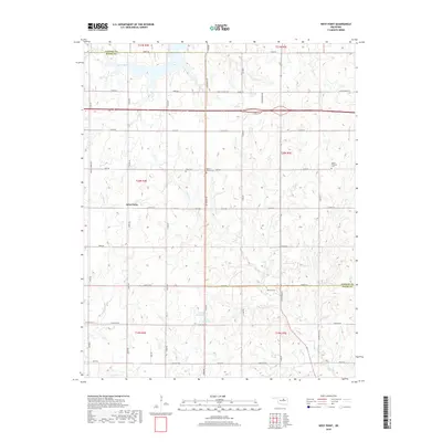
2018 Map of West Point
USGS Topo · Published 2018About this map
The Oklahoma countryside at West Point is defined by a grid of rural roads and scattered water features near the boundary of Pawnee and Payne Counties. This 2018 survey documents the intricate drainage patterns formed by Camp Creek, Salt Cr, and Feather Cr, which flow through the undulating terrain. Local heritage is preserved in several small burial grounds, including Hopp Cem, Mount Vernon Cem, and Mount Pleasant Cem, serving as markers of the area's early families and settlements. Man-made water management is evident in the southern portion of the map with the 11910 Reservoir and 11911 Reservoir near Lakeview Rd. Modern infrastructure is represented by the path of Highway 412, which bisects the northern sections of the map, and the proximity of Airport Rd, showing how transportation networks have integrated with the historical landscape.
Find a feature on this map
49 named features on this map. Tap any name to fly to it.
Don’t see what you’re looking for? This feature index may not catch every label — zoom into the map to look around manually.
Map Details
Editions of this 2018 West Point Map
This is the sole edition of this map. No revisions or reprints were ever made.
Other maps of this area

1929 · Yale
USGS Topo · 1:62,500

1929 · Ripley
USGS Topo · 1:62,500

1929 · Skedee
USGS Topo · 1:62,500

1930 · Pawnee
USGS Topo · 1:62,500

1931 · Skedee
USGS Topo · 1:62,500

1932 · Yale
USGS Topo · 1:62,500

1932 · Ripley
USGS Topo · 1:62,500

1936 · Pawnee
USGS Topo · 1:62,500

1955 · Enid
USGS Topo · 1:250,000

1958 · Enid
USGS Topo · 1:250,000