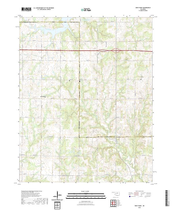
2022 Map of West Point
USGS Topo · Published 2022About this map
The settlement of West Point serves as a central anchor for this rural landscape where the border of Pawnee Co and Payne Co meets. The topography is defined by the prominent Twin Mounds, which rise above a network of creek drainages including Camp Creek, Salt Cr, and Feather Cr. This area is characterized by its agricultural section lines and a significant series of man-made water bodies such as the Lower Black Bear Cr Site 21 Reservoir and the 11910 Reservoir, illustrating modern water management efforts in the region.
Find a feature on this map
48 named features on this map. Tap any name to fly to it.
Don’t see what you’re looking for? This feature index may not catch every label — zoom into the map to look around manually.
Map Details
Editions of this 2022 West Point Map
This is the sole edition of this map. No revisions or reprints were ever made.
Other maps of this area

1929 · Yale
USGS Topo · 1:62,500

1929 · Ripley
USGS Topo · 1:62,500

1929 · Skedee
USGS Topo · 1:62,500

1930 · Pawnee
USGS Topo · 1:62,500

1931 · Skedee
USGS Topo · 1:62,500

1932 · Yale
USGS Topo · 1:62,500

1932 · Ripley
USGS Topo · 1:62,500

1936 · Pawnee
USGS Topo · 1:62,500

1955 · Enid
USGS Topo · 1:250,000

1958 · Enid
USGS Topo · 1:250,000