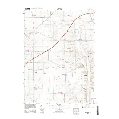
2013 Map of West Salem
USGS Topo · Published 2013About this map
West Salem and the rural townships of northwestern Wayne County are defined by a mosaic of agricultural operations and small community centers. This landscape is punctuated by numerous family and community burial grounds, such as Warners Congress Cem and the Old Dutch Reformed Cem, reflecting the deep-rooted settlement history of the region. The map captures a transition where traditional agriculture meets specialized land uses, including the Pleasant Home Gliding Club Gliderport near Pleasant Home.
Find a feature on this map
132 named features on this map. Tap any name to fly to it.
Don’t see what you’re looking for? This feature index may not catch every label — zoom into the map to look around manually.
Map Details
Editions of this 2013 West Salem Map
This is the sole edition of this map. No revisions or reprints were ever made.
Other maps of this area

1901 · Wooster
USGS Topo · 1:62,500

1903 · Wooster
USGS Topo · 1:62,500

1904 · Medina
USGS Topo · 1:62,500

1904 · Wellington
USGS Topo · 1:62,500

1906 · Medina
USGS Topo · 1:62,500

1906 · Wellington
USGS Topo · 1:62,500

1906 · West Salem
USGS Topo · 1:62,500

1908 · West Salem
USGS Topo · 1:62,500

1950 · Cleveland
USGS Topo · 1:250,000

1950 · Marion
USGS Topo · 1:250,000