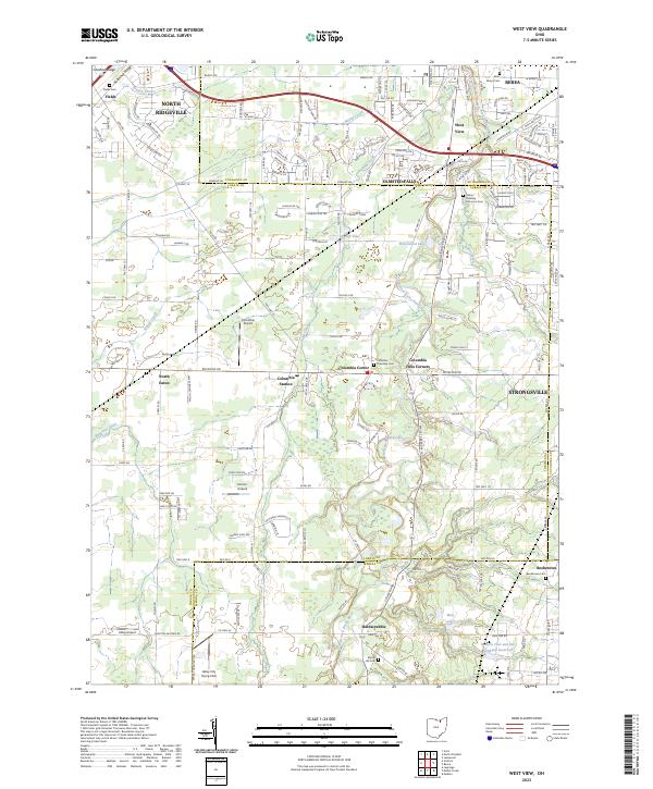
2023 Map of West View
USGS Topo · Published 2023About this map
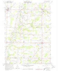
The West Branch Rocky River carves through the landscape where Lorain Co, Cuyahoga Co, and Medina Co converge, defining the settlement patterns of this corner of Ohio. Central to this map is the community of Columbia Station, surrounded by smaller hamlets like Columbia Center and Hardscrabble. The terrain is marked by the distinct rises of Chestnut Ridge and Butternut Ridge, geological features that influenced the earliest road layouts, including the eponymous Butternut Ridge road. Several small aviation sites like Dorlon Airpark and Columbia Airport dot the area, reflecting the region's mid-century suburban expansion and local utility. Local history and genealogy researchers will find numerous resting places of interest, from the Calvin Hoadley Historical Cem near Olmsted Falls to the Beebetown Cem located on the southern boundary in Beebetown.
Find a feature on this map
78 named features on this map. Tap any name to fly to it.
Don’t see what you’re looking for? This feature index may not catch every label — zoom into the map to look around manually.
Map Details
Editions of this 2023 West View Map
This is the sole edition of this map. No revisions or reprints were ever made.
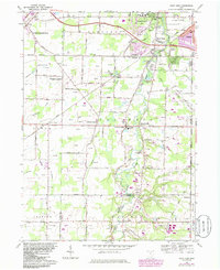
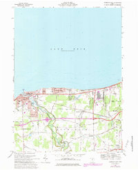
Historical Maps of Olmsted Township Through Time
13 maps found
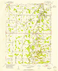
1953 West View
Lorain County, OH
1959 Vermilion East
Lorain County, OH
1960 Brighton
Lorain County, OH
1960 Lagrange
Lorain County, OH
1963 West View
Lorain County, OH
1969 Vermilion East
Lorain County, OH
1986 Put-In-Bay
Lorain County, OH
1994 West View
Lorain County, OH
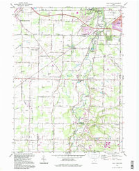
2023 Avon OE N
Lorain County, OH
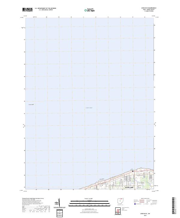
2023 Brighton
Lorain County, OH
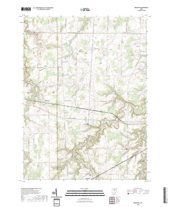
2023 Lagrange
Lorain County, OH
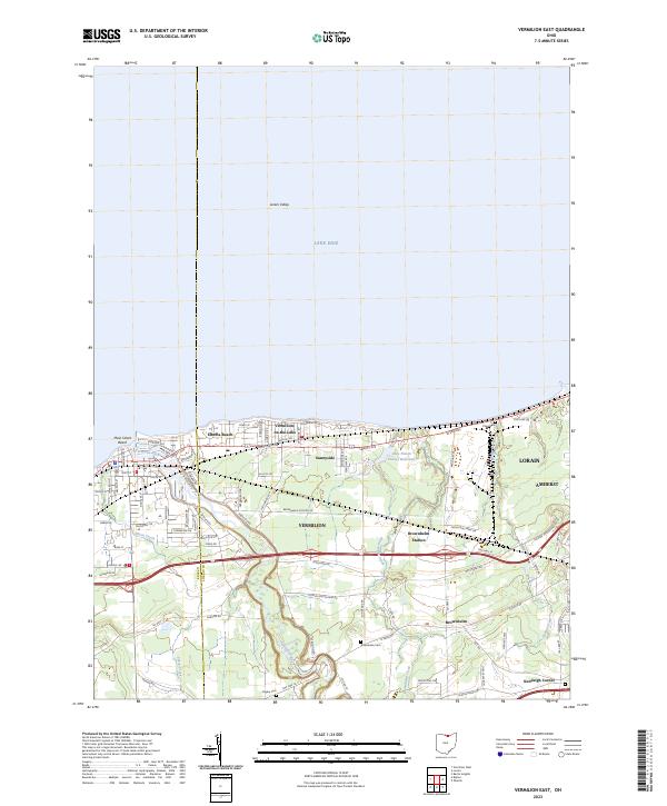
2023 Vermilion East
Lorain County, OH
2023 West View
Lorain County, OH