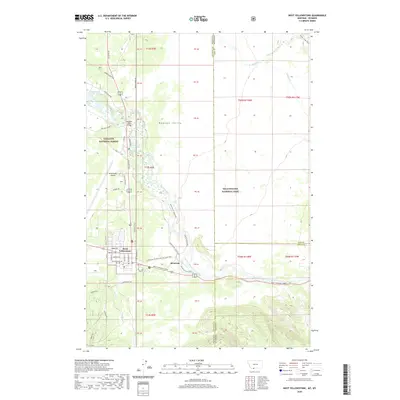
2020 Map of West Yellowstone
USGS Topo · Published 2020About this map
The Madison River winds through this high mountain plateau, marking the convergence of the Gallatin National Forest and the northwestern edge of Yellowstone National Park. The settlement of West Yellowstone serves as a prominent gateway, defined by a grid of streets including Gibbon Ave, Firehole Ave, and Yellowstone Ave. Just east of the town center lies Riverside, situated near where the West Entrance Road leads into the park.
Find a feature on this map
63 named features on this map. Tap any name to fly to it.
Don’t see what you’re looking for? This feature index may not catch every label — zoom into the map to look around manually.
Map Details
Editions of this 2020 West Yellowstone Map
This is the sole edition of this map. No revisions or reprints were ever made.
Other maps of this area

1885 · Gallatin
USGS Topo · 1:125,000

1885 · Gallatin
USGS Topo · 1:125,000

1901 · Gallatin
USGS Topo · 1:125,000

1908 · Gallatin
USGS Topo · 1:125,000

1911 · Gallatin
USGS Topo · 1:125,000

1955 · Ashton
USGS Topo · 1:250,000

1958 · Ashton
USGS Topo · 1:250,000

1958 · Madison Junction
USGS Topo · 1:62,500

1958 · Mount Holmes
USGS Topo · 1:62,500

1958 · West Yellowstone
USGS Topo · 1:62,500