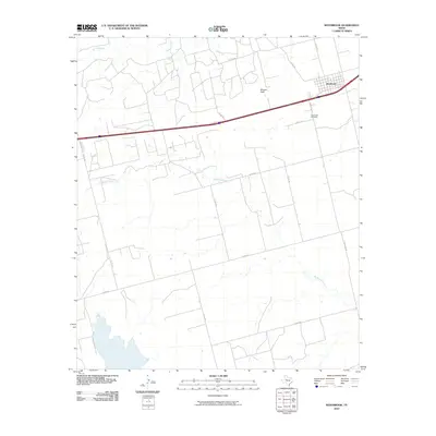
2010 Map of Westbrook
USGS Topo · Published 2010About this map
The town of Westbrook serves as the primary hub of this Mitchell County landscape, situated along a vital east-west transportation corridor. The settlement pattern is defined by a grid of county roads, including Co RD 238 and Co RD 270, which connect scattered homesteads to the municipal center. Local heritage is anchored at the Westbrook Cemetery, providing a specific point of interest for genealogical research in this West Texas community.
Find a feature on this map
17 named features on this map. Tap any name to fly to it.
Don’t see what you’re looking for? This feature index may not catch every label — zoom into the map to look around manually.
Map Details
Editions of this 2010 Westbrook Map
This is the sole edition of this map. No revisions or reprints were ever made.
Other maps of this area

1950 · Cedar Bend
USGS Topo · 1:24,000

1950 · Lake Colorado City
USGS Topo · 1:24,000

1951 · Vincent
USGS Topo · 1:24,000

1951 · Iatan
USGS Topo · 1:24,000

1952 · Iatan
USGS Topo · 1:24,000

1952 · Cuthbert
USGS Topo · 1:24,000

1952 · Westbrook
USGS Topo · 1:24,000

1954 · Big Spring
USGS Topo · 1:250,000

1958 · Big Spring
USGS Topo · 1:250,000

1959 · Spade Ranch
USGS Topo · 1:24,000