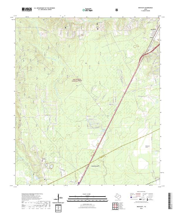
2022 Map of Westcott
USGS Topo · Published 2022About this map
Sam Houston National Forest dominates the wooded landscape of this region, where the piney woods of East Texas meet the headwaters of the San Jacinto river system. The map documents a corridor of transition between the growing hub of Cleveland and the community of Shepherd to the northeast. Along the eastern edge, Tarkington Prairie provides a distinct break from the dense forest cover, hosting several family and community landmarks such as Roark Cem and Squier Cem. The drainage patterns of Tarkington Bayou and the East Fork San Jacinto River define the local topography, while numerous small cemeteries like Big Creek Cem and Farley Chapel Cem offer specific points of interest for those researching the deep-rooted local history of San Jacinto and Liberty counties.
Find a feature on this map
80 named features on this map. Tap any name to fly to it.
Don’t see what you’re looking for? This feature index may not catch every label — zoom into the map to look around manually.
Map Details
Editions of this 2022 Westcott Map
This is the sole edition of this map. No revisions or reprints were ever made.
Other maps of this area

1943 · Liberty
USGS Topo · 1:125,000

1954 · Beaumont
USGS Topo · 1:250,000

1955 · Rayburn
USGS Topo · 1:62,500

1957 · Beaumont
USGS Topo · 1:250,000

1958 · Fostoria
USGS Topo · 1:24,000

1958 · Cleveland
USGS Topo · 1:24,000

1958 · Westcott
USGS Topo · 1:24,000

1958 · Livingston
USGS Topo · 1:62,500

1958 · Bear Creek
USGS Topo · 1:24,000

1960 · Camilla
USGS Topo · 1:24,000