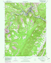
1950 Map of Westernport
USGS Topo · Published 1982About this map
Westernport and the industrial corridor along the Potomac River anchor this mid-century topographic study, which captures the intersection of heavy rail and coal mining at the Maryland-West Virginia border. The landscape is defined by the sharp rise of the Allegheny Front and the Dans Mtn ridge, where extensive strip mining activity is documented alongside protected lands like the Savage River State Forest. The river valley serves as a critical transport artery, carrying the Baltimore and Ohio Railroad and the Western Maryland Railway through mountain gaps to service company towns like Luke, Piedmont, and Bloomington. Purple revisions from 1979 indicate the transformation of the river valley with the creation of Bloomington Lake. Genealogical details include family-named sites such as Tichnell Cem and Sinkler Cem, as well as the Cross School and Duling Ch, providing a precise look at rural settlement patterns before modern development altered the terrain.
Find a feature on this map
60 named features on this map. Tap any name to fly to it.
Don’t see what you’re looking for? This feature index may not catch every label — zoom into the map to look around manually.
Map Details
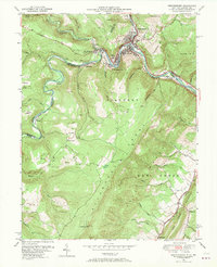
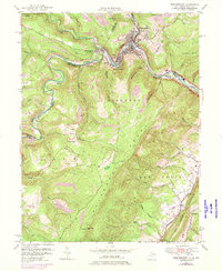
Editions of this 1950 Westernport Map
3 editions found
Other maps of this area

1891 · Romney
USGS Topo · 1:125,000

1895 · Piedmont
USGS Topo · 1:125,000

1898 · Frostburg
USGS Topo · 1:62,500

1899 · Grantsville
USGS Topo · 1:62,500

1901 · Frostburg
USGS Topo · 1:62,500

1904 · Grantsville
USGS Topo · 1:62,500

1908 · Frostburg
USGS Topo · 1:62,500

1919 · Elk Garden
USGS Topo · 1:48,000

1920 · Elk Garden
USGS Topo · 1:48,000

1920 · Keyser
USGS Topo · 1:62,500