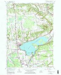
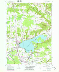
1955 Map of Westernville
USGS Topo · Published 1984About this map
Delta Reservoir dominates the landscape north of the City Boundary of Rome, showing the extensive flooding of the Mohawk valley that reshaped this portion of Oneida County. The map details the transition from the dense agricultural and educational network of the mid-20th century to modern developments, including the Griffiss AFB military reservation and Delta Lake State Park. Traditional community life is reflected in the numerous rural schools, such as School No 2 and Turin Sch, and local landmarks like the Rome Fish Hatchery. To the north, the terrain rises toward Quaker Hill and Haynes Hill, where the West Branch Mohawk River winds through narrow valleys near West Branch. The presence of an Old Railroad Grade and cemeteries like Walsh Cem provide a clear view of the area's earlier transport and settlement patterns before the reservoir's creation.
Find a feature on this map
52 named features on this map. Tap any name to fly to it.
Don’t see what you’re looking for? This feature index may not catch every label — zoom into the map to look around manually.
Map Details
Editions of this 1955 Westernville Map
5 editions found
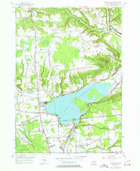
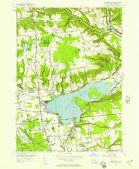
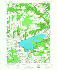
Other maps of this area

1895 · Oriskany
USGS Topo · 1:62,500

1895 · Oneida
USGS Topo · 1:62,500

1898 · Oneida
USGS Topo · 1:62,500

1898 · Oriskany
USGS Topo · 1:62,500

1902 · Oneida
USGS Topo · 1:62,500

1904 · Boonville
USGS Topo · 1:62,500

1905 · Taberg
USGS Topo · 1:62,500

1939 · Oneida
USGS Topo · 1:62,500

1943 · Lee Center
USGS Topo · 1:31,680

1944 · Point Rock
USGS Topo · 1:31,680