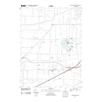
2010 Map of Westfield Center
USGS Topo · Published 2010About this map
Westfield Center and the surrounding townships in Medina County are defined by a mix of established village centers and recreational lakeside communities. The eastern half of the sheet is dominated by Chippewa Lake, where several distinct residential enclaves like Chippewa-on-the-Lake and Gloria Glens Park cluster along the shoreline. This area shows a transition from historical agricultural roots to modern suburban and vacation use, evidenced by the proximity of the Boy Scout Camp to newer residential developments like Briarwood Beach.
Find a feature on this map
65 named features on this map. Tap any name to fly to it.
Don’t see what you’re looking for? This feature index may not catch every label — zoom into the map to look around manually.
Map Details
Editions of this 2010 Westfield Center Map
This is the sole edition of this map. No revisions or reprints were ever made.
Other maps of this area

1901 · Wooster
USGS Topo · 1:62,500

1903 · Wooster
USGS Topo · 1:62,500

1904 · Medina
USGS Topo · 1:62,500

1904 · Wellington
USGS Topo · 1:62,500

1906 · Medina
USGS Topo · 1:62,500

1906 · Wellington
USGS Topo · 1:62,500

1906 · West Salem
USGS Topo · 1:62,500

1908 · West Salem
USGS Topo · 1:62,500

1950 · Cleveland
USGS Topo · 1:250,000

1950 · Marion
USGS Topo · 1:250,000