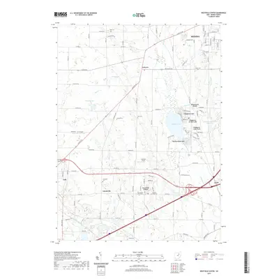
2019 Map of Westfield Center
USGS Topo · Published 2019About this map
Chippewa Lake serves as the central focal point for a cluster of lakeside communities including Chippewa-on-the-Lake, Gloria Glens Park, and Briarwood Beach. This 2019 survey captures the developed character of Medina County, where modern infrastructure meets historical sites. The landscape is marked by numerous small cemeteries that provide significant value for genealogical research, such as Waltz Cem in the north and the Old Westfield Center Cem near the heart of Westfield Center. Transportation networks are dominated by the intersection of major thoroughfares near Seville, while more specialized facilities like Crazy Bob's Airport and M C R Airport highlight local aviation. The drainage patterns of Chippewa Creek and Little Killbuck Cr define the hydrologic layout of this region, connecting the settled villages with the surrounding rural terrain.
Find a feature on this map
100 named features on this map. Tap any name to fly to it.
Don’t see what you’re looking for? This feature index may not catch every label — zoom into the map to look around manually.
Map Details
Editions of this 2019 Westfield Center Map
This is the sole edition of this map. No revisions or reprints were ever made.
Other maps of this area

1901 · Wooster
USGS Topo · 1:62,500

1903 · Wooster
USGS Topo · 1:62,500

1904 · Medina
USGS Topo · 1:62,500

1904 · Wellington
USGS Topo · 1:62,500

1906 · Medina
USGS Topo · 1:62,500

1906 · Wellington
USGS Topo · 1:62,500

1906 · West Salem
USGS Topo · 1:62,500

1908 · West Salem
USGS Topo · 1:62,500

1950 · Cleveland
USGS Topo · 1:250,000

1950 · Marion
USGS Topo · 1:250,000