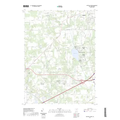
2023 Map of Westfield Center
USGS Topo · Published 2023About this map
Chippewa Lake serves as a central landmark for this southern Medina County landscape, surrounded by a dense cluster of communities including Chippewa Lake Park, Gloria Glens Park, and Briarwood Beach. The map reveals a transition from these lakeside residential developments to the established municipal centers of Westfield Center, Lodi, and Seville. Historically minded researchers will find significant genealogical value in the numerous burial grounds documented, such as the Old Westfield Center Cem and the Friendsville Cem near the settlement of Friendsville.
Find a feature on this map
97 named features on this map. Tap any name to fly to it.
Don’t see what you’re looking for? This feature index may not catch every label — zoom into the map to look around manually.
Map Details
Editions of this 2023 Westfield Center Map
This is the sole edition of this map. No revisions or reprints were ever made.
Other maps of this area

1901 · Wooster
USGS Topo · 1:62,500

1903 · Wooster
USGS Topo · 1:62,500

1904 · Medina
USGS Topo · 1:62,500

1904 · Wellington
USGS Topo · 1:62,500

1906 · Medina
USGS Topo · 1:62,500

1906 · Wellington
USGS Topo · 1:62,500

1906 · West Salem
USGS Topo · 1:62,500

1908 · West Salem
USGS Topo · 1:62,500

1950 · Cleveland
USGS Topo · 1:250,000

1950 · Marion
USGS Topo · 1:250,000