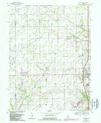
1969 Map of Westfield
USGS Topo · Published 1987About this map
Westfield stands as the primary hub in this late 20th-century survey of Hamilton County, Indiana. The map captures a landscape defined by a regular grid of section roads, including West West 226th Street and West 161st Street, which connect rural hamlets like Hortonville, Eagletown, and Jolietville. The local economy and infrastructure are highlighted by the presence of the CSX railroad corridor and the Westfield Landing Field near the center of the quadrangle. Genealogists will find significant value in the documentation of several small burial sites, such as Union Grove Cem, Chester Cem, and Summit Lawn Cem. Natural drainage patterns are dictated by Eagle Creek and its tributaries, such as Finley Creek and Grassy Branch, which cut across the geometric township lines of Adams and Washington.
Find a feature on this map
39 named features on this map. Tap any name to fly to it.
Don’t see what you’re looking for? This feature index may not catch every label — zoom into the map to look around manually.
Map Details
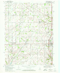
Editions of this 1969 Westfield Map
2 editions found
Other maps of this area

1952 · Fishers
USGS Topo · 1:24,000

1952 · Carmel
USGS Topo · 1:24,000

1953 · Westfield
USGS Topo · 1:24,000

1953 · Rosston
USGS Topo · 1:24,000

1953 · Zionsville
USGS Topo · 1:24,000

1953 · Noblesville
USGS Topo · 1:24,000

1953 · Danville
USGS Topo · 1:250,000

1953 · Indianapolis
USGS Topo · 1:250,000

1955 · Danville
USGS Topo · 1:250,000

1956 · Danville
USGS Topo · 1:250,000