2024 Map of Westhope
USGS Topo · Published 2024About this map
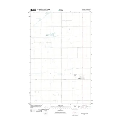
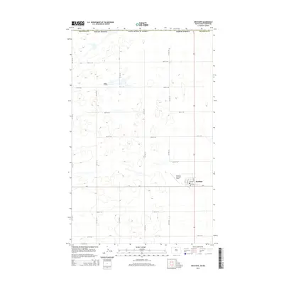
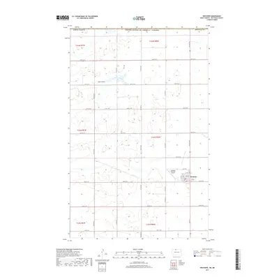
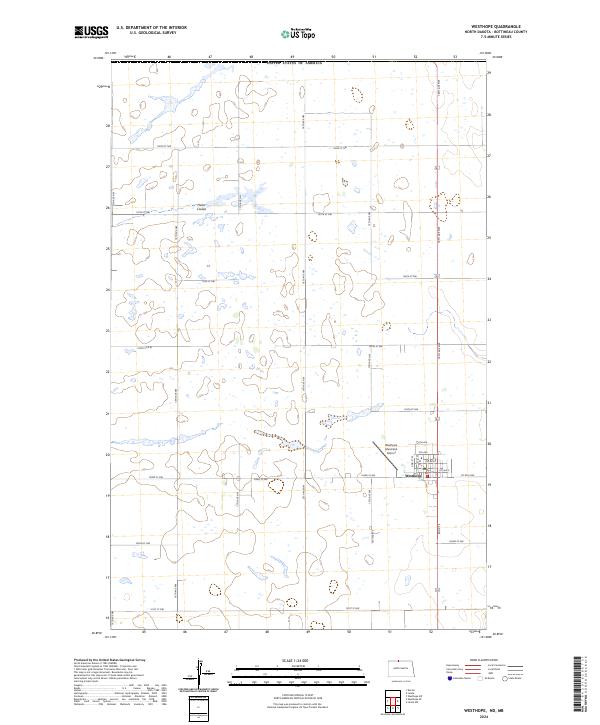
The settlement of Westhope serves as the primary hub in this corner of Bottineau County, just south of the international boundary with the United States of America. The landscape is defined by the precise section lines of the Public Land Survey System, which dictate the placement of a dense network of rural roads such as 108th St NW and 101st St NW. This modern survey illustrates the persistent agricultural grid that has shaped North Dakota since the late nineteenth century. Natural drainage is limited to subtle features like Hulse Coulee, which winds through the prairie in the northwestern portion of the map. In the southeastern quadrant, the Westhope Municipal Airport and a small grid of residential streets like 6th Ave and 1st Ave E mark the community's contemporary footprint near Co Rd 6 NW.
Find a feature on this map
22 named features on this map. Tap any name to fly to it.
Don’t see what you’re looking for? This feature index may not catch every label — zoom into the map to look around manually.
Map Details
Editions of this 2024 Westhope Map
This is the sole edition of this map. No revisions or reprints were ever made.
Historical Maps of Westhope Through Time
6 maps found