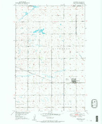
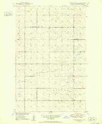
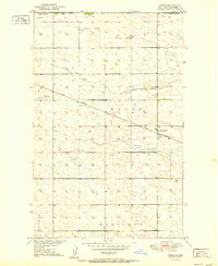
1951 Map of Westhope
USGS Topo · Published 1951About this map
The Westhope community sits at a vital juncture in northern Bottineau County, where the Great Northern railway cuts across the plains just miles south of the international border. This 1951 survey details a landscape defined by the intersection of transit and territory, featuring the Westhope Landing Field and the official U S Port of Entry at the boundary between the United States and Canada. The township divisions of Richburg, Bentinck, and Sergius organize the rural acreage, which is marked by numerous small depressions and the winding path of Hulse Coulee. The presence of the railroad and the proximity to Manitoba highlight Westhope's role as a regional hub for trade and cross-border movement during the mid-twentieth century.
Find a feature on this map
12 named features on this map. Tap any name to fly to it.
Don’t see what you’re looking for? This feature index may not catch every label — zoom into the map to look around manually.
Map Details
Editions of this 1951 Westhope Map
2 editions found
Other maps of this area
1949 · Landa
USGS Topo · 1:24,000
1949 · Westhope SW
USGS Topo · 1:24,000
1949 · Landa SW
USGS Topo · 1:24,000
1950 · Westhope SW
USGS Topo · 1:24,000
1950 · Landa
USGS Topo · 1:24,000
1950 · Landa SW
USGS Topo · 1:24,000
1951 · Westhope SE
USGS Topo · 1:24,000
1951 · Kuroki
USGS Topo · 1:24,000
1951 · Westhope
USGS Topo · 1:24,000

1954 · Minot
USGS Topo · 1:250,000