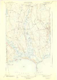
1942 Map of Westport
USGS Topo · Published 1942About this map
The coastal landscape of southern Bristol County is defined here by the split confluence of the East Branch Westport River and the West Branch Westport River. This 1942 edition, based on 1939-1940 surveys, reveals a community organized around historic river landings and rural intersections. Settlements like Westport Point and the Head of Westport anchor the local geography, while numerous crossroads such as Kirby Corner and Slades Corner illustrate the traditional post-colonial road network.
Find a feature on this map
97 named features on this map. Tap any name to fly to it.
Don’t see what you’re looking for? This feature index may not catch every label — zoom into the map to look around manually.
Map Details
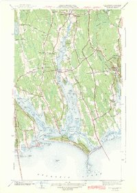
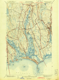
Editions of this 1942 Westport Map
3 editions found
Other maps of this area

1885 · New Bedford
USGS Topo · 1:62,500

1885 · Sakonnet
USGS Topo · 1:62,500

1888 · New Bedford
USGS Topo · 1:62,500

1888 · Fall River
USGS Topo · 1:62,500

1888 · Sakonnet
USGS Topo · 1:62,500

1893 · Sakonnet
USGS Topo · 1:62,500

1893 · Fall River
USGS Topo · 1:62,500

1893 · New Bedford
USGS Topo · 1:62,500

1918 · New Bedford
USGS Topo · 1:62,500

1919 · Fall River
USGS Topo · 1:62,500