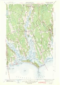
1942 Map of Westport
USGS Topo · Published 1942About this map
Head of Westport and the surrounding coastal lowlands are captured here during the early years of World War II, showing a landscape defined by its intricate river systems and maritime proximity. The Westport River East Branch and Westport River West Branch dominate the terrain, creating a series of necks, flats, and islands such as Great Island and Big Ram Island. Settlement is concentrated at traditional crossroads and landings, from the civic hub at Central Village with its Town Hall and High Sch to the coastal village of Acoaxet.
Find a feature on this map
101 named features on this map. Tap any name to fly to it.
Don’t see what you’re looking for? This feature index may not catch every label — zoom into the map to look around manually.
Map Details
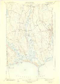
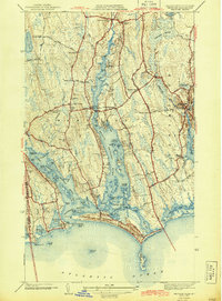
Editions of this 1942 Westport Map
3 editions found
Other maps of this area

1885 · New Bedford
USGS Topo · 1:62,500

1885 · Sakonnet
USGS Topo · 1:62,500

1888 · New Bedford
USGS Topo · 1:62,500

1888 · Fall River
USGS Topo · 1:62,500

1888 · Sakonnet
USGS Topo · 1:62,500

1893 · Sakonnet
USGS Topo · 1:62,500

1893 · Fall River
USGS Topo · 1:62,500

1893 · New Bedford
USGS Topo · 1:62,500

1918 · New Bedford
USGS Topo · 1:62,500

1919 · Fall River
USGS Topo · 1:62,500