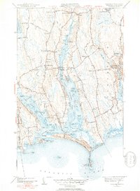
1951 Map of Westport
USGS Topo · Published 1952About this map
West Branch Westport River and its eastern counterpart define this coastal landscape, framing a series of peninsulas and necks that reach toward the Atlantic Ocean. Along the shoreline, the long sweep of Horseneck Beach and East Horseneck Beach protects the inner waters of Westport Harbor. The map reveals a dense network of early settlements and crossroads, including the maritime village of Westport Point and the inland hub at Central Village, where the Town Hall and Beech Grove Cem are located.
Find a feature on this map
107 named features on this map. Tap any name to fly to it.
Don’t see what you’re looking for? This feature index may not catch every label — zoom into the map to look around manually.
Map Details
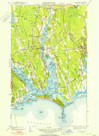
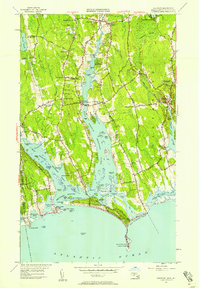
Editions of this 1951 Westport Map
3 editions found
Other maps of this area

1885 · New Bedford
USGS Topo · 1:62,500

1885 · Sakonnet
USGS Topo · 1:62,500

1888 · New Bedford
USGS Topo · 1:62,500

1888 · Fall River
USGS Topo · 1:62,500

1888 · Sakonnet
USGS Topo · 1:62,500

1893 · Sakonnet
USGS Topo · 1:62,500

1893 · Fall River
USGS Topo · 1:62,500

1893 · New Bedford
USGS Topo · 1:62,500

1918 · New Bedford
USGS Topo · 1:62,500

1919 · Fall River
USGS Topo · 1:62,500