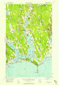
1951 Map of Westport
USGS Topo · Published 1958About this map
The coastal village of Acoaxet and the barrier dunes of Horseneck Beach anchor this coastal Massachusetts survey. The landscape is defined by the dual estuaries of the West Branch Westport River and East Branch Westport River, which carve deep into the town of Westport. This era shows a settled interior organized around intersection hamlets like Central Village and Handy Four Corners, where the Beech Grove Cem and local High Sch serve the community. The northern reach at Head of Westport marks the transition from tidal waters to upland streams.
Find a feature on this map
106 named features on this map. Tap any name to fly to it.
Don’t see what you’re looking for? This feature index may not catch every label — zoom into the map to look around manually.
Map Details
Editions of this 1951 Westport Map
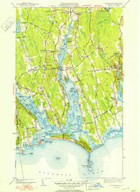
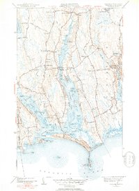
3 editions found
Other maps of this area

1885 · New Bedford
USGS Topo · 1:62,500

1885 · Sakonnet
USGS Topo · 1:62,500

1888 · New Bedford
USGS Topo · 1:62,500

1888 · Fall River
USGS Topo · 1:62,500

1888 · Sakonnet
USGS Topo · 1:62,500

1893 · Sakonnet
USGS Topo · 1:62,500

1893 · Fall River
USGS Topo · 1:62,500

1893 · New Bedford
USGS Topo · 1:62,500

1918 · New Bedford
USGS Topo · 1:62,500

1919 · Fall River
USGS Topo · 1:62,500