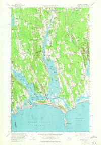
1963 Map of Westport
USGS Topo · Published 1971About this map
The East Branch and West Branch of the Westport River dominate this coastal landscape, framing a series of historic crossroads and maritime settlements in the early 1960s. The village of Westport Point sits at the confluence where the river meets Westport Harbor, serving as a gateway to the barrier beach system at Horseneck Beach State Reservation. Inland, the map documents a network of named corners, such as Handy Four Corners and Sissons Corner, reflecting a rural settlement pattern established long before modern development.
Find a feature on this map
109 named features on this map. Tap any name to fly to it.
Don’t see what you’re looking for? This feature index may not catch every label — zoom into the map to look around manually.
Map Details
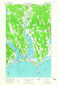
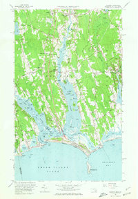
Editions of this 1963 Westport Map
3 editions found
Other maps of this area

1885 · New Bedford
USGS Topo · 1:62,500

1885 · Sakonnet
USGS Topo · 1:62,500

1888 · New Bedford
USGS Topo · 1:62,500

1888 · Fall River
USGS Topo · 1:62,500

1888 · Sakonnet
USGS Topo · 1:62,500

1893 · Sakonnet
USGS Topo · 1:62,500

1893 · Fall River
USGS Topo · 1:62,500

1893 · New Bedford
USGS Topo · 1:62,500

1918 · New Bedford
USGS Topo · 1:62,500

1919 · Fall River
USGS Topo · 1:62,500