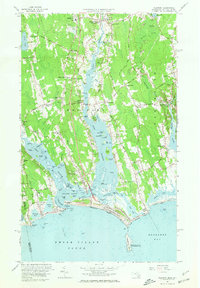
1963 Map of Westport
USGS Topo · Published 1972About this map
Coastal estuaries and tidal flats dominate this 1963 revision of the southern Massachusetts shoreline, where the East Branch and West Branch of the Westport River converge before entering Rhode Island Sound. The landscape is a network of small village centers and family-named crossroads, including Head of Westport, Westport Point, and Russells Mills. The survey captures the area just before significant late-century development, preserving the locations of the Friends Burial Lot, the Westport High Sch, and the Westport Light near the harbor entrance.
Find a feature on this map
127 named features on this map. Tap any name to fly to it.
Don’t see what you’re looking for? This feature index may not catch every label — zoom into the map to look around manually.
Map Details
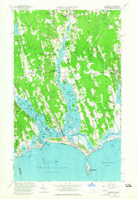
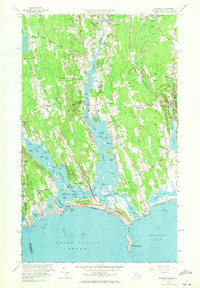
Editions of this 1963 Westport Map
3 editions found
Other maps of this area

1885 · New Bedford
USGS Topo · 1:62,500

1885 · Sakonnet
USGS Topo · 1:62,500

1888 · New Bedford
USGS Topo · 1:62,500

1888 · Fall River
USGS Topo · 1:62,500

1888 · Sakonnet
USGS Topo · 1:62,500

1893 · Sakonnet
USGS Topo · 1:62,500

1893 · Fall River
USGS Topo · 1:62,500

1893 · New Bedford
USGS Topo · 1:62,500

1918 · New Bedford
USGS Topo · 1:62,500

1919 · Fall River
USGS Topo · 1:62,500