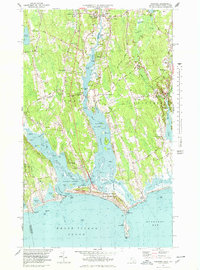
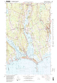
1977 Map of Westport
USGS Topo · Published 1979About this map
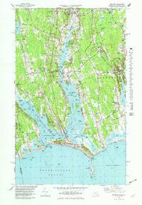
The East Branch and West Branch of the Westport River dominate this coastal landscape, flowing south through a network of family-named corners and small settlements toward Buzzards Bay. This 1970s revision, based on earlier surveys and updated aerial photography, captures the inland community at Head of Westport and the historic fishing and maritime character of Westport Point. The map details a transition from the agricultural interior, marked by the Town Forest and numerous crossroads like Handy Four Corners, to the recreational shoreline at Horseneck Beach State Reservation. Genealogists and local historians can trace legacy landforms such as Cadman Neck and Jessies Neck, as well as established burial grounds like Linden Grove Cem. The distinct coastal geography is further defined by several tidal ponds, including Cockeast Pond and Allens Pond, protected from the open waters of Rhode Island Sound by narrow barrier beaches.
Find a feature on this map
107 named features on this map. Tap any name to fly to it.
Don’t see what you’re looking for? This feature index may not catch every label — zoom into the map to look around manually.
Map Details
Editions of this 1977 Westport Map
5 editions found
Other maps of this area

1885 · New Bedford
USGS Topo · 1:62,500

1885 · Sakonnet
USGS Topo · 1:62,500

1888 · New Bedford
USGS Topo · 1:62,500

1888 · Fall River
USGS Topo · 1:62,500

1888 · Sakonnet
USGS Topo · 1:62,500

1893 · Sakonnet
USGS Topo · 1:62,500

1893 · Fall River
USGS Topo · 1:62,500

1893 · New Bedford
USGS Topo · 1:62,500

1918 · New Bedford
USGS Topo · 1:62,500

1919 · Fall River
USGS Topo · 1:62,500