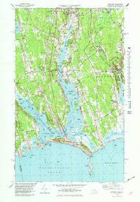
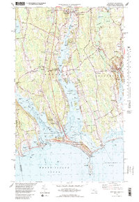
1977 Map of Westport
USGS Topo · Published 1979About this map
The coastal landscapes of Westport and Dartmouth are defined by the branching estuaries of the Westport River and Slocums River as they flow toward Buzzards Bay. This 1970s survey captures a community deeply connected to its maritime and agricultural roots, with traditional village centers like Head of Westport and the historic Westport Point peninsula remaining prominent. The transition from inland farmland to salt marsh and sandy barrier beaches is most visible at the Horseneck Beach State Reservation, which protects a significant stretch of shoreline between Westport Harbor and The Let.
Find a feature on this map
130 named features on this map. Tap any name to fly to it.
Don’t see what you’re looking for? This feature index may not catch every label — zoom into the map to look around manually.
Map Details
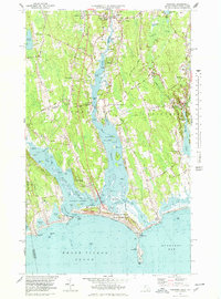
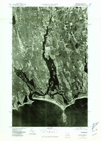
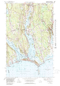
Editions of this 1977 Westport Map
5 editions found
Other maps of this area

1885 · New Bedford
USGS Topo · 1:62,500

1885 · Sakonnet
USGS Topo · 1:62,500

1888 · New Bedford
USGS Topo · 1:62,500

1888 · Fall River
USGS Topo · 1:62,500

1888 · Sakonnet
USGS Topo · 1:62,500

1893 · Sakonnet
USGS Topo · 1:62,500

1893 · Fall River
USGS Topo · 1:62,500

1893 · New Bedford
USGS Topo · 1:62,500

1918 · New Bedford
USGS Topo · 1:62,500

1919 · Fall River
USGS Topo · 1:62,500