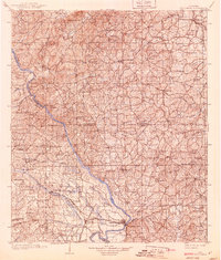
1903 Map of Wetumpka
USGS Topo · Published 1939About this map
Wetumpka serves as the focal point of this early 20th-century landscape where the Coosa River and Tallapoosa River converge to form the Alabama River. The topography reveals a river-dependent economy in the era before major hydroelectric dams altered the waterway's character, evidenced by numerous river crossings such as Higgins Ferry, Smiths Ferry, and Nobles Ferry.
Find a feature on this map
58 named features on this map. Tap any name to fly to it.
Don’t see what you’re looking for? This feature index may not catch every label — zoom into the map to look around manually.
Map Details
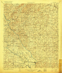
Editions of this 1903 Wetumpka Map
3 editions found
Other maps of this area

1890 · Bessemer
USGS Topo · 1:125,000

1890 · Talladega
USGS Topo · 1:125,000

1891 · Clanton
USGS Topo · 1:125,000

1891 · Ashland
USGS Topo · 1:125,000

1892 · Talladega
USGS Topo · 1:125,000

1892 · Bessemer
USGS Topo · 1:125,000

1901 · Wetumpka
USGS Topo · 1:125,000

1901 · Wetumpka
USGS Topo · 1:62,500

1903 · Wetumpka
USGS Topo · 1:125,000

1906 · Dadeville
USGS Topo · 1:125,000