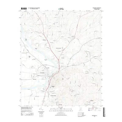
2014 Map of Wetumpka
USGS Topo · Published 2014About this map
Wetumpka anchors this landscape where the Coosa River transitions through a series of significant water features, including Moccasin Shoals and Grays Island Shoal. The city's core is marked by the Bibb Graves Bridge and the Wetumpka City Cem, surrounded by residential developments like Blue Ridge, Harrogate Springs, and Cherokee Estates. The topography is defined by prominent rises such as Bald Knob and the low-lying waters of Cooter Pond.
Find a feature on this map
140 named features on this map. Tap any name to fly to it.
Don’t see what you’re looking for? This feature index may not catch every label — zoom into the map to look around manually.
Map Details
Editions of this 2014 Wetumpka Map
This is the sole edition of this map. No revisions or reprints were ever made.
Other maps of this area

1901 · Wetumpka
USGS Topo · 1:125,000

1901 · Wetumpka
USGS Topo · 1:62,500

1903 · Wetumpka
USGS Topo · 1:125,000

1927 · Montgomery
USGS Topo · 1:48,000

1930 · Montgomery
USGS Topo · 1:62,500

1953 · Montgomery
USGS Topo · 1:250,000

1956 · Montgomery
USGS Topo · 1:250,000

1957 · Montgomery
USGS Topo · 1:250,000

1958 · Montgomery
USGS Topo · 1:62,500

1958 · Montgomery North
USGS Topo · 1:24,000