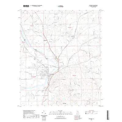
2020 Map of Wetumpka
USGS Topo · Published 2020About this map
Wetumpka sits at the fall line of the Coosa River, where the Piedmont meets the Gulf Coastal Plain. This geographic transition is marked by a series of significant river features, including Wetumpka Falls, Moccasin Shoals, and Grays Island Shoal. The river is spanned by the Bibb Graves Bridge, connecting the downtown core to the surrounding residential areas. To the north, the settlement of Wallsboro anchors a landscape defined by creeks such as Yellow Water Cr and Corn Creek.
Find a feature on this map
131 named features on this map. Tap any name to fly to it.
Don’t see what you’re looking for? This feature index may not catch every label — zoom into the map to look around manually.
Map Details
Editions of this 2020 Wetumpka Map
This is the sole edition of this map. No revisions or reprints were ever made.
Other maps of this area

1901 · Wetumpka
USGS Topo · 1:125,000

1901 · Wetumpka
USGS Topo · 1:62,500

1903 · Wetumpka
USGS Topo · 1:125,000

1927 · Montgomery
USGS Topo · 1:48,000

1930 · Montgomery
USGS Topo · 1:62,500

1953 · Montgomery
USGS Topo · 1:250,000

1956 · Montgomery
USGS Topo · 1:250,000

1957 · Montgomery
USGS Topo · 1:250,000

1958 · Montgomery
USGS Topo · 1:62,500

1958 · Montgomery North
USGS Topo · 1:24,000