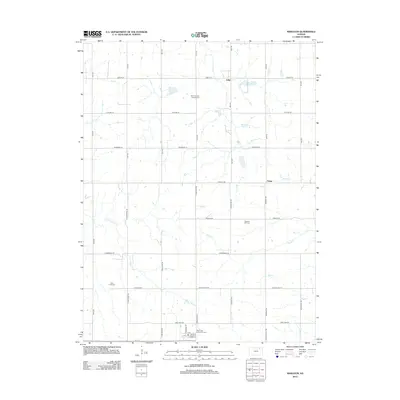
2012 Map of Wheaton
USGS Topo · Published 2012About this map
Lillis and Nolan anchor this agricultural landscape in Pottawatomie County, where a network of section-line roads and winding creek beds defines the rural character. The map reveals a high concentration of institutional landmarks critical for genealogical research, including Saint Josephs Catholic Cem and Saint Luke Lutheran N Cem. These sites, along with Pleasant Hill Cem and Clear Creek Cem, serve as the primary anchors for a dispersed farming community.
Find a feature on this map
41 named features on this map. Tap any name to fly to it.
Don’t see what you’re looking for? This feature index may not catch every label — zoom into the map to look around manually.
Map Details
Editions of this 2012 Wheaton Map
This is the sole edition of this map. No revisions or reprints were ever made.
Other maps of this area

1889 · Seneca
USGS Topo · 1:125,000

1889 · Wamego
USGS Topo · 1:125,000

1894 · Seneca
USGS Topo · 1:125,000

1894 · Wamego
USGS Topo · 1:125,000

1955 · Manhattan
USGS Topo · 1:250,000

1956 · Manhattan
USGS Topo · 1:250,000

1957 · Manhattan
USGS Topo · 1:250,000
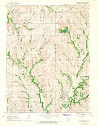
1964 · Westmoreland
USGS Topo · 1:24,000
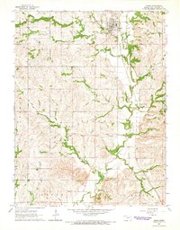
1964 · Onaga
USGS Topo · 1:24,000
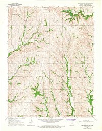
1964 · Westmoreland NE
USGS Topo · 1:24,000