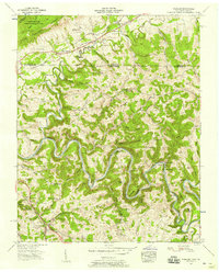
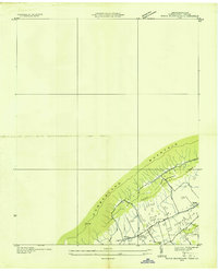
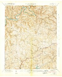
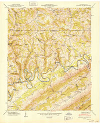
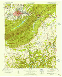
1956 Map of Wheeler
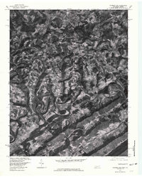
USGS Topo · Published 1958This historical map portrays the area of Wheeler in 1956, primarily covering Claiborne County as well as portions of Virginia. Featuring a scale of 1:24000, this map provides a highly detailed snapshot of the terrain, roads, buildings, counties, and historical landmarks in the Wheeler region at the time. Published in 1958, it is one of 3 known editions of this map due to revisions or reprints.
Find a feature on this map
113 named features on this map. Tap any name to fly to it.
Don’t see what you’re looking for? This feature index may not catch every label — zoom into the map to look around manually.
Map Details
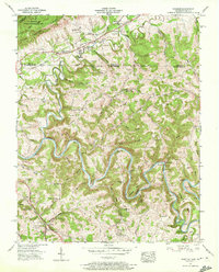
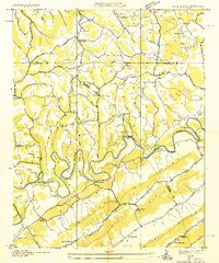
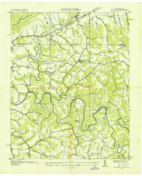
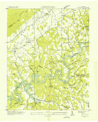
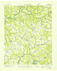
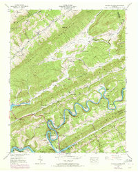
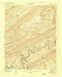
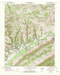
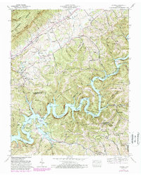
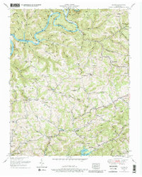
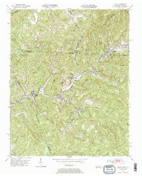
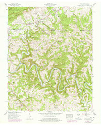
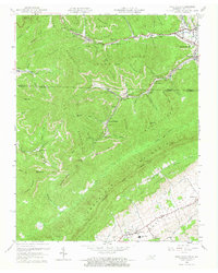
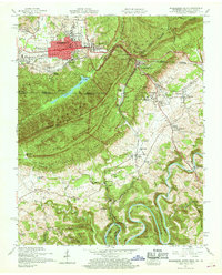
Editions of this 1956 Wheeler Map
3 editions found
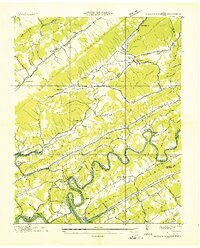
Historical Maps of Cave Spring Through Time
21 maps found
1935 Colman
Claiborne County, TN
1935 Howard Quarter
Claiborne County, TN
1935 Mingo Mountains
Claiborne County, TN
1935 Wheeler
Claiborne County, TN
1936 Ausmus
Claiborne County, TN
1936 Clouds
Claiborne County, TN

1942 Ausmus
Claiborne County, TN
1942 Clouds
Claiborne County, TN
1942 Howard Quarter
Claiborne County, TN
1943 Howard Quarter
Claiborne County, TN
1946 Colemen Gap
Claiborne County, TN
1950 Colemen Gap
Claiborne County, TN

1950 Mingo Mountains
Claiborne County, TN
1952 Ausmus
Claiborne County, TN
1952 Clouds
Claiborne County, TN
1953 Eagan
Claiborne County, TN
1955 Middlesboro South
Claiborne County, TN
1956 Wheeler
Claiborne County, TN
1959 Fork Ridge
Claiborne County, TN
1959 Middlesboro South
Claiborne County, TN
1976 Colemen Gap
Claiborne County, TN