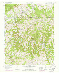
1956 Map of Wheeler
USGS Topo · Published 1978About this map
The Poor Valley Ridge and Cumberland Mountain define the northern corridor of this landscape, where the historic Old Wilderness Rd follows the same path as the Daniel Boone Trail and Old Wilderness Road. This northern section is dominated by the Cumberland Gap National Historical Park, providing a view of the gateway through which early settlers moved westward. To the south, the Powell River carves a serpentine path, creating dramatic features like Ellison Bend and the Double S Bend around Jack Nance Island.
Find a feature on this map
99 named features on this map. Tap any name to fly to it.
Don’t see what you’re looking for? This feature index may not catch every label — zoom into the map to look around manually.
Map Details
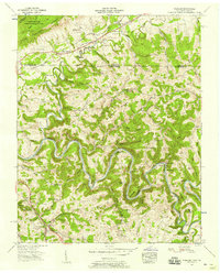
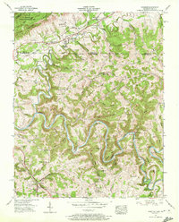
Editions of this 1956 Wheeler Map
3 editions found
Other maps of this area

1883 · Morristown
USGS Topo · 1:125,000

1886 · Cumberland Gap
USGS Topo · 1:125,000

1887 · Jonesville
USGS Topo · 1:125,000

1888 · Cumberland Gap
USGS Topo · 1:125,000

1891 · Cumberland Gap
USGS Topo · 1:125,000

1891 · Jonesville
USGS Topo · 1:125,000

1893 · Morristown
USGS Topo · 1:125,000

1895 · Morristown
USGS Topo · 1:125,000

1897 · Maynardville
USGS Topo · 1:125,000

1900 · Maynardville
USGS Topo · 1:125,000