Loading...
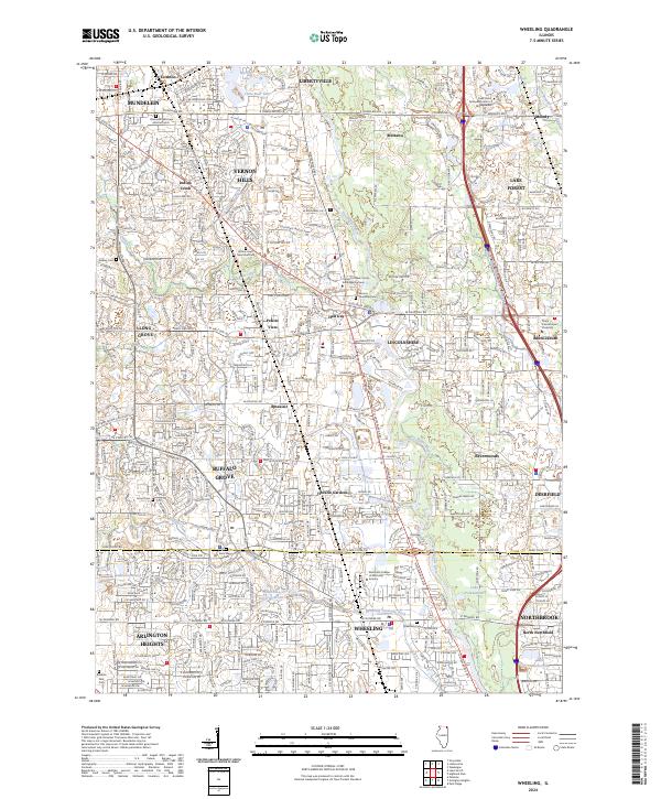
Loading map...2024 Map of Wheeling
USGS Topo · Published 2024About this map
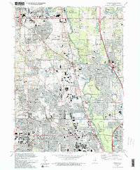
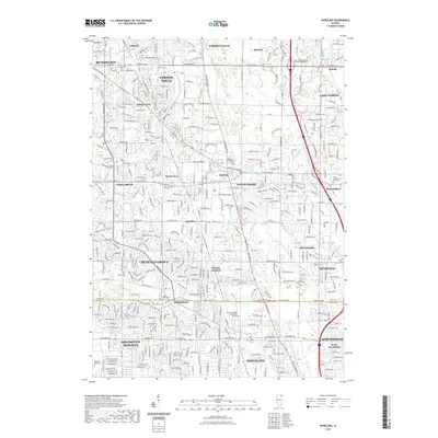
The Des Plaines River corridor anchors this modern survey of the northern Chicago suburbs, where extensive residential and commercial development meets a legacy of localized industry and education. In Wheeling, the Wheeling Drainage Ditch and the White Pine Ditch Reservoir illustrate the area's sophisticated water management, while specialized institutions like the Worsham College of Mortuary Science define the town's contemporary character.
Find a feature on this map
49 named features on this map. Tap any name to fly to it.
Don’t see what you’re looking for? This feature index may not catch every label — zoom into the map to look around manually.
Map Details
Date Portrayed2024
Date Published2024
PublisherU.S. Geological Survey
Map TypeTopographic
Scale1:24,000
Physical Dimensions24 x 29 inches
Editions of this 2024 Wheeling Map
This is the sole edition of this map. No revisions or reprints were ever made.
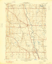
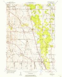
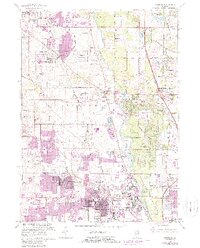
Historical Maps of Arlington Heights Through Time
10 maps found

Featured Locations
- Buffalo Grove, IL
- Arlington Heights, IL
- Mundelein, IL
- Wheeling, Wheeling Township
- Northbrook, Northfield Township
Source Details
SourceU.S. Geological Survey
CopyrightPublic Domain