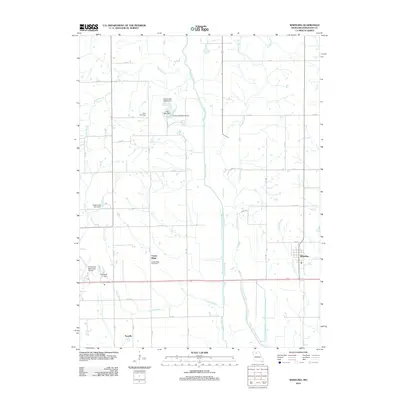
2012 Map of Wheeling
USGS Topo · Published 2012About this map
Wheeling serves as the primary population center on this Livingston County landscape, situated along the eastern edge where Center Branch flows south. To the west, Medicine Creek and Muddy Creek cut significant north-south paths through a region defined by agricultural grid roads and small-scale water management. The presence of several localized impoundments, such as Cooke Lake North Dam and Hall Lake Dam, reflects the importance of water storage in this rural environment.
Find a feature on this map
37 named features on this map. Tap any name to fly to it.
Don’t see what you’re looking for? This feature index may not catch every label — zoom into the map to look around manually.
Map Details
Editions of this 2012 Wheeling Map
This is the sole edition of this map. No revisions or reprints were ever made.
Other maps of this area

1921 · Chillicothe
USGS Topo · 1:62,500

1923 · Chillicothe
USGS Topo · 1:62,500

1924 · Dawn
USGS Topo · 1:62,500

1924 · Chula
USGS Topo · 1:62,500

1924 · Hale
USGS Topo · 1:62,500

1947 · Chula
USGS Topo · 1:62,500

1951 · Utica
USGS Topo · 1:62,500

1951 · Hale
USGS Topo · 1:62,500

1953 · Moberly
USGS Topo · 1:250,000

1954 · Moberly
USGS Topo · 1:250,000