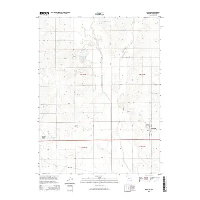
2015 Map of Wheeling
USGS Topo · Published 2015About this map
Wheeling serves as the primary population center in this Missouri landscape, defined by the winding course of Medicine Creek and its many tributaries. The settlement of Norville sits along the southern edge, while Cream Ridge marks a smaller community hub to the west. The area is heavily intersected by a network of Livingston County roads, such as Liv 220 and Liv 253, which connect the rural farmsteads to the Chillicothe Municipal Airport.
Find a feature on this map
45 named features on this map. Tap any name to fly to it.
Don’t see what you’re looking for? This feature index may not catch every label — zoom into the map to look around manually.
Map Details
Editions of this 2015 Wheeling Map
This is the sole edition of this map. No revisions or reprints were ever made.
Other maps of this area

1921 · Chillicothe
USGS Topo · 1:62,500

1923 · Chillicothe
USGS Topo · 1:62,500

1924 · Dawn
USGS Topo · 1:62,500

1924 · Chula
USGS Topo · 1:62,500

1924 · Hale
USGS Topo · 1:62,500

1947 · Chula
USGS Topo · 1:62,500

1951 · Utica
USGS Topo · 1:62,500

1951 · Hale
USGS Topo · 1:62,500

1953 · Moberly
USGS Topo · 1:250,000

1954 · Moberly
USGS Topo · 1:250,000