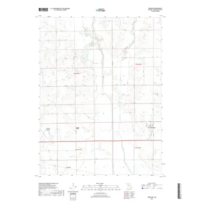
2017 Map of Wheeling
USGS Topo · Published 2017About this map
Medicine Creek defines the central lowlands of this Livingston County landscape, flanked by a network of drainage tributaries including Muddy Cr and Sapp Br. The settlement of Wheeling occupies the eastern portion of the map, organized around a traditional street grid with N State St and Spring St serving as local corridors. To the west, the Chillicothe Municipal Airport provides a distinct modern landmark, while the small community of Cream Ridge and the Ross Cem offer touchpoints for local family history and genealogy. The terrain is largely agricultural, marked by the systematic section lines of t58n r23w and t57n r23w. This 2017 survey details the contemporary rural infrastructure of North-Central Missouri, from the southern hamlet of Norville to the numerous county roads like Liv 230 and HWY V that link these isolated farmsteads and creek crossings.
Find a feature on this map
49 named features on this map. Tap any name to fly to it.
Don’t see what you’re looking for? This feature index may not catch every label — zoom into the map to look around manually.
Map Details
Editions of this 2017 Wheeling Map
This is the sole edition of this map. No revisions or reprints were ever made.
Other maps of this area

1921 · Chillicothe
USGS Topo · 1:62,500

1923 · Chillicothe
USGS Topo · 1:62,500

1924 · Dawn
USGS Topo · 1:62,500

1924 · Chula
USGS Topo · 1:62,500

1924 · Hale
USGS Topo · 1:62,500

1947 · Chula
USGS Topo · 1:62,500

1951 · Utica
USGS Topo · 1:62,500

1951 · Hale
USGS Topo · 1:62,500

1953 · Moberly
USGS Topo · 1:250,000

1954 · Moberly
USGS Topo · 1:250,000