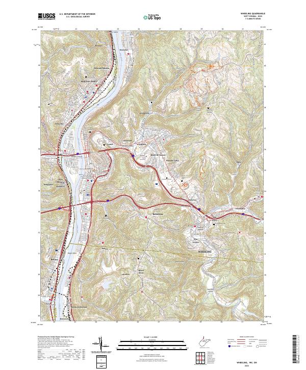
2023 Map of Wheeling
USGS Topo · Published 2023About this map
Wheeling serves as the focal point of this industrial and collegiate landscape, situated along the Ohio River at the intersection of West Virginia and Ohio. The map illustrates a dense network of neighborhoods and sub-settlements including Aetnaville, Fulton, and Mozart, many of which developed around the region's steep ravines and river terraces. The importance of education and local administration is clear from the presence of Wheeling Jesuit University and the Ohio County Courthouse.
Find a feature on this map
83 named features on this map. Tap any name to fly to it.
Don’t see what you’re looking for? This feature index may not catch every label — zoom into the map to look around manually.
Map Details
Editions of this 2023 Wheeling Map
This is the sole edition of this map. No revisions or reprints were ever made.
Other maps of this area

1902 · Wheeling
USGS Topo · 1:62,500

1904 · Cameron
USGS Topo · 1:62,500

1905 · Clarington
USGS Topo · 1:62,500

1905 · St. Clairsville
USGS Topo · 1:62,500

1935 · Cameron
USGS Topo · 1:62,500

1935 · Clarington
USGS Topo · 1:62,500

1935 · Wheeling
USGS Topo · 1:62,500

1940 · Clarington
USGS Topo · 1:62,500

1942 · Cameron
USGS Topo · 1:62,500

1942 · Wheeling
USGS Topo · 1:62,500