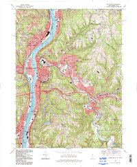
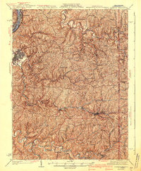
1994 Map of Wheeling
USGS Topo · Published 1998About this map
The Ohio River corridor serves as the industrial and civic spine of this region, separating Martins Ferry and Bridgeport in Ohio from the dense urban infrastructure of Wheeling, West Virginia. The map details the complex geography of the river's banks, from the residential heart of Wheeling Island to the institutional grounds of Mt de Chantal Academy and the sprawling Oglebay Park to the northeast. Transportation networks are prominent, featuring the Ft Henry Bridge and the Wheeling Terminal RR which supported the area's coal and manufacturing legacy.
Find a feature on this map
93 named features on this map. Tap any name to fly to it.
Don’t see what you’re looking for? This feature index may not catch every label — zoom into the map to look around manually.
Map Details
Editions of this 1994 Wheeling Map
This is the sole edition of this map. No revisions or reprints were ever made.
Other maps of this area

1902 · Wheeling
USGS Topo · 1:62,500

1904 · Cameron
USGS Topo · 1:62,500
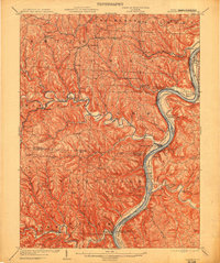
1905 · Clarington
USGS Topo · 1:62,500

1905 · St. Clairsville
USGS Topo · 1:62,500

1935 · Cameron
USGS Topo · 1:62,500
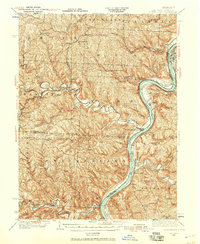
1935 · Clarington
USGS Topo · 1:62,500

1935 · Wheeling
USGS Topo · 1:62,500
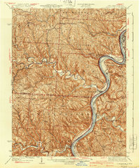
1940 · Clarington
USGS Topo · 1:62,500
1942 · Cameron
USGS Topo · 1:62,500

1942 · Wheeling
USGS Topo · 1:62,500