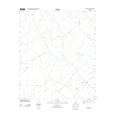
2013 Map of Wheelock
USGS Topo · Published 2013About this map
Wheelock stands as a central point in this Robertson County landscape, where the convergence of several small waterways and local roads defines the community’s layout. This 2013 survey illustrates a rural Texas environment where historical continuity is visible through several family and community burial grounds, including the Cavitt Cem and Wheelock Cem. The area is characterized by a dense network of branches and creeks, such as Copperas Cr and Moss Spring Br, which carve out local terrain features like Cedar Hollow and Wolf Hollow.
Find a feature on this map
48 named features on this map. Tap any name to fly to it.
Don’t see what you’re looking for? This feature index may not catch every label — zoom into the map to look around manually.
Map Details
Editions of this 2013 Wheelock Map
This is the sole edition of this map. No revisions or reprints were ever made.
Other maps of this area

1925 · Marquez No. 4
USGS Topo · 1:48,000

1927 · Marquez
USGS Topo · 1:62,500

1930 · Marquez
USGS Topo · 1:62,500

1954 · Waco
USGS Topo · 1:250,000

1954 · Austin
USGS Topo · 1:250,000

1955 · Waco
USGS Topo · 1:250,000

1961 · Hearne North
USGS Topo · 1:24,000

1961 · Hearne South
USGS Topo · 1:24,000

1962 · Edge
USGS Topo · 1:24,000

1962 · Wheelock
USGS Topo · 1:24,000