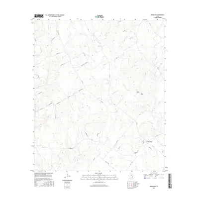
2016 Map of Wheelock
USGS Topo · Published 2016About this map
Wheelock serves as a primary hub in this portion of Robertson County, situated at the intersection of several key routes including FM 391. The landscape is defined by a dense network of creek branches and hollows, such as Cedar Hollow and Wolf Hollow, which drain toward water bodies like Copperas Cr and Spring Cr. For genealogists, the map is particularly detailed, identifying multiple burial grounds including Wheelock Cem, Cavitt Cem, and Cozy Cem.
Find a feature on this map
56 named features on this map. Tap any name to fly to it.
Don’t see what you’re looking for? This feature index may not catch every label — zoom into the map to look around manually.
Map Details
Editions of this 2016 Wheelock Map
This is the sole edition of this map. No revisions or reprints were ever made.
Other maps of this area

1925 · Marquez No. 4
USGS Topo · 1:48,000

1927 · Marquez
USGS Topo · 1:62,500

1930 · Marquez
USGS Topo · 1:62,500

1954 · Waco
USGS Topo · 1:250,000

1954 · Austin
USGS Topo · 1:250,000

1955 · Waco
USGS Topo · 1:250,000

1961 · Hearne North
USGS Topo · 1:24,000

1961 · Hearne South
USGS Topo · 1:24,000

1962 · Edge
USGS Topo · 1:24,000

1962 · Wheelock
USGS Topo · 1:24,000