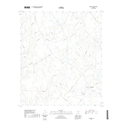
2019 Map of Wheelock
USGS Topo · Published 2019About this map
Wheelock serves as the focal point of this Robertson County landscape, situated at the intersection of FM 391 and FM 46. The settlement's history is reflected in several surrounding burial grounds, including the Wheelock Cem and Cavit Cem. The terrain is defined by a dense network of seasonal creek branches and notable landforms such as Red Hill and Wolf Hollow. Rural life is etched into the map through numerous local routes like Dunns Fort Rd, Henry Prairie Church Rd, and the curiously named Bucksnort Rd. To the northeast, the topography shifts around Cedar Hollow and various water bodies like Hardin Br and Crazy Br, illustrating the intricate drainage patterns that have shaped local land use and property boundaries over generations.
Find a feature on this map
58 named features on this map. Tap any name to fly to it.
Don’t see what you’re looking for? This feature index may not catch every label — zoom into the map to look around manually.
Map Details
Editions of this 2019 Wheelock Map
This is the sole edition of this map. No revisions or reprints were ever made.
Other maps of this area

1925 · Marquez No. 4
USGS Topo · 1:48,000

1927 · Marquez
USGS Topo · 1:62,500

1930 · Marquez
USGS Topo · 1:62,500

1954 · Waco
USGS Topo · 1:250,000

1954 · Austin
USGS Topo · 1:250,000

1955 · Waco
USGS Topo · 1:250,000

1961 · Hearne North
USGS Topo · 1:24,000

1961 · Hearne South
USGS Topo · 1:24,000

1962 · Edge
USGS Topo · 1:24,000

1962 · Wheelock
USGS Topo · 1:24,000