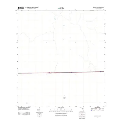
2012 Map of Whidden Lake
USGS Topo · Published 2012About this map
Fruit Fly Camp sits just north of the major east-west corridor in this sparsely settled region of the Florida Everglades. The landscape is defined by its subtle water features and elevations, including the seasonal waters of Mullet Slough and the distinct terrain of Bamboo Mound. This 2012 survey by the U.S. Geological Survey details a transit-dominated environment where Interstate 84 and Highway 75 cut through the wetlands. The presence of Whidden Lake provides a central reference point for the surrounding marshy terrain, offering a specialized look at the hydrography and remote outposts that characterize this portion of Collier County.
Find a feature on this map
6 named features on this map. Tap any name to fly to it.
Don’t see what you’re looking for? This feature index may not catch every label — zoom into the map to look around manually.
Map Details
Editions of this 2012 Whidden Lake Map
This is the sole edition of this map. No revisions or reprints were ever made.
Other maps of this area

1956 · West Palm Beach
USGS Topo · 1:250,000

1957 · West Palm Beach
USGS Topo · 1:250,000

1958 · West Palm Beach
USGS Topo · 1:250,000

1974 · Everglades 2 SW
USGS Topo · 1:24,000

1974 · Immokalee 4 NW
USGS Topo · 1:24,000

1974 · Immokalee 1 SW
USGS Topo · 1:24,000

1974 · Immokalee 1 SE
USGS Topo · 1:24,000
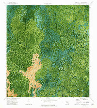
1974 · Immokalee 4 SW
USGS Topo · 1:24,000
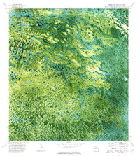
1974 · Everglades 3 SW
USGS Topo · 1:24,000
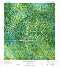
1974 · Immokalee 4 NE
USGS Topo · 1:24,000