
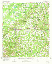
1955 Map of Whigham
USGS Topo · Published 1957About this map
Whigham and the surrounding borderlands of Decatur and Grady counties reveal a mid-century agricultural and industrial landscape defined by the Atlantic Coast Line and Seaboard Air Line railroads. The map documents an era of small-scale extraction, evidenced by Strip Mine and Strip Mines operations situated near the tracks. The settlement pattern is dense with rural institutions, from family-named landmarks like Parker Courthouse and Peoples Still to numerous congregational centers including Union Spring Ch, Grant Chapel, and Piney Grove Ch.
Find a feature on this map
82 named features on this map. Tap any name to fly to it.
Don’t see what you’re looking for? This feature index may not catch every label — zoom into the map to look around manually.
Map Details
Editions of this 1955 Whigham Map
2 editions found
Other maps of this area

1953 · Dothan
USGS Topo · 1:250,000

1954 · Dothan
USGS Topo · 1:250,000

1954 · Tallahassee
USGS Topo · 1:250,000

1955 · Dothan
USGS Topo · 1:250,000

1955 · Bainbridge
USGS Topo · 1:62,500

1956 · Havana North
USGS Topo · 1:24,000

1956 · Cairo
USGS Topo · 1:62,500

1956 · Dogtown
USGS Topo · 1:24,000

1956 · Calvary
USGS Topo · 1:24,000

1957 · Beachton
USGS Topo · 1:24,000