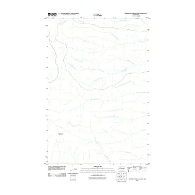
2011 Map of Whiskey Dick Mountain
USGS Topo · Published 2011About this map
Whiskey Dick Mountain dominates this Kittitas County landscape, where the high terrain is defined by an intricate network of drainage systems. The map shows the branching headwaters of several major creeks, including the Whiskey Dick Creek, Quilomene Creek, and Skookumchuck Creek. This 2011 survey documents a relatively undeveloped area where small settlements like The Pines and primitive access routes such as Army Rd and Beacon Rd provide the primary infrastructure through the drainages. The naming of features like Little Bohinkleman Creek and Perkins Fork suggests a history of local landholders or pioneers who navigated this high country. The map captures the region before more modern encroachments, preserving the layout of the old cattle or service roads like Perkins Rd that crisscross the forks of the Hunt and Perkins creeks.
Find a feature on this map
22 named features on this map. Tap any name to fly to it.
Don’t see what you’re looking for? This feature index may not catch every label — zoom into the map to look around manually.
Map Details
Editions of this 2011 Whiskey Dick Mountain Map
This is the sole edition of this map. No revisions or reprints were ever made.
Other maps of this area

1920 · Colockum Pass
USGS Topo · 1:125,000

1922 · Colockum Pass
USGS Topo · 1:125,000

1938 · Badger Pocket
USGS Topo · 1:48,000

1939 · Boylston
USGS Topo · 1:48,000

1943 · Boylston
USGS Topo · 1:62,500

1943 · Badger Pocket
USGS Topo · 1:62,500

1950 · Yakima
USGS Topo · 1:250,000

1953 · Ginkgo
USGS Topo · 1:24,000
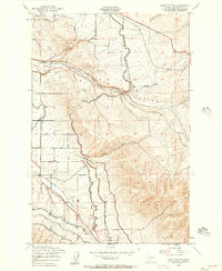
1953 · East Kittitas
USGS Topo · 1:24,000
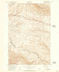
1953 · Boylston
USGS Topo · 1:24,000