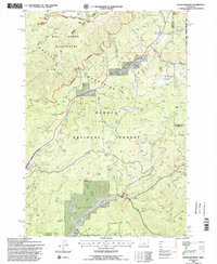
1992 Map of Whistler Point
USGS Topo · Published 1997About this map
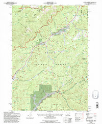
The high timberlands of the Ochocco Mountains define this landscape, where the Mill Creek Wilderness meets the broader Ochocco National Forest. This 1990s revision shows a region managed for both conservation and resource use, marked by a dense network of water sources like Buck Spring and Hamilton Spring that support the area's high-altitude meadows. Notable family-named landmarks such as Hamilton Butte and Grant Butte rise above the complex drainage systems of Mill Creek and Ochoco Creek. Settlement remains sparse, represented primarily by the small station at Ochoco and isolated infrastructure like Koch Reservoir and several designated quarries and mines. The presence of the Prineville Big Summit route and various forest trails underscores the area's role as a gateway for mountain passage and wilderness access within Crook County.
Find a feature on this map
77 named features on this map. Tap any name to fly to it.
Don’t see what you’re looking for? This feature index may not catch every label — zoom into the map to look around manually.
Map Details
Editions of this 1992 Whistler Point Map
2 editions found
Other maps of this area

1926 · Mitchell
USGS Topo · 1:125,000

1948 · Ochoco Reservoir
USGS Topo · 1:62,500

1950 · Ochoco Reservoir
USGS Topo · 1:62,500

1951 · Lookout Mtn
USGS Topo · 1:62,500

1955 · Bend
USGS Topo · 1:250,000

1957 · Bend
USGS Topo · 1:250,000

1958 · Bend
USGS Topo · 1:250,000

1968 · Lawson Mtn
USGS Topo · 1:24,000

1968 · Stephenson Mtn
USGS Topo · 1:24,000

1968 · Opal Mountain
USGS Topo · 1:24,000