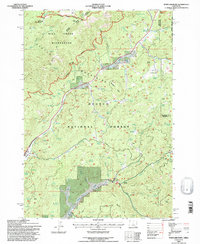
1992 Map of Whistler Point
USGS Topo · Published 1997About this map
The Mill Creek Wilderness dominates the northwest corner of this landscape, where the high-elevation terrain of the Ochoco National Forest drops into deep drainages. In the early 1990s, the area's resource management is evidenced by the Ranger Station and a network of fire-related landmarks like Whistler Point. The map captures a transitional highland where Ochoco Creek and Marks Creek begin their descent through the mountains. Water access is a defining feature of the local topography, marked by dozens of named water sources such as Claypool Spring, Whistler Spring, and the Koch Reservoir. High points like Lookout Mountain and Hamilton Butte provide significant overlooks across the boundary between Crook and Wheeler counties, while Grant Meadows offers one of the few named openings in the dense timber of the high country.
Find a feature on this map
48 named features on this map. Tap any name to fly to it.
Don’t see what you’re looking for? This feature index may not catch every label — zoom into the map to look around manually.
Map Details
Editions of this 1992 Whistler Point Map
2 editions found
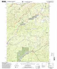
Other maps of this area

1926 · Mitchell
USGS Topo · 1:125,000

1948 · Ochoco Reservoir
USGS Topo · 1:62,500

1950 · Ochoco Reservoir
USGS Topo · 1:62,500

1951 · Lookout Mtn
USGS Topo · 1:62,500

1955 · Bend
USGS Topo · 1:250,000

1957 · Bend
USGS Topo · 1:250,000

1958 · Bend
USGS Topo · 1:250,000

1968 · Lawson Mtn
USGS Topo · 1:24,000

1968 · Stephenson Mtn
USGS Topo · 1:24,000

1968 · Opal Mountain
USGS Topo · 1:24,000