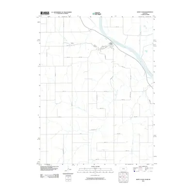
1959 Map of White Cloud
USGS Topo · Published 1961About this map
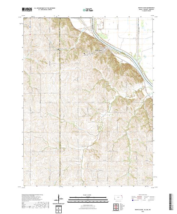
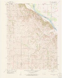
The Missouri River forms the central lifeline of this landscape, cutting a wide path between the loess hills of Kansas and the floodplain of Missouri. The settlement of White Cloud sits at a historic nexus, overlooking the river where the Iowa Indian Boundary and the state lines of Nebraska, Kansas, and Missouri converge. The topography reveals a dramatic contrast between the deeply dissected ridges to the west, characterized by winding drainage systems like Spring Creek and Mill Creek, and the engineered drainage of the Missouri bottoms, where the Tarkio Ditch and Squaw Cr Ditch manage the lowland waters. This 1959 survey records the rural infrastructure of the mid-20th century, including the Olive Branch Cemetery, Partlow Cem, and country schools such as Hill Top Sch and Grand View Sch that once served the upland farming communities.
Find a feature on this map
22 named features on this map. Tap any name to fly to it.
Don’t see what you’re looking for? This feature index may not catch every label — zoom into the map to look around manually.
Map Details
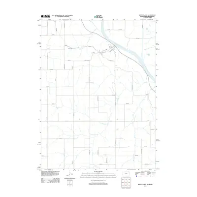
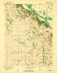
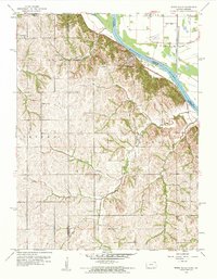
Editions of this 1959 White Cloud Map
4 editions found
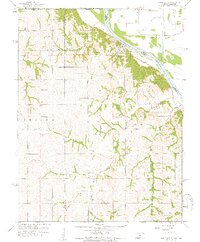
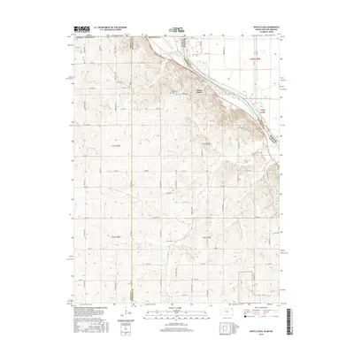
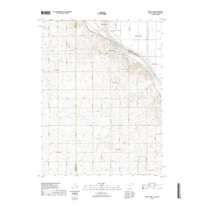
Historical Maps of White Cloud Through Time
6 maps found