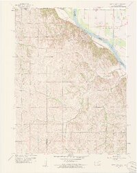
1959 Map of White Cloud
USGS Topo · Published 1961About this map
The Iowa and Sac and Fox Indian Reservation dominates the landscape of this 1959 survey, marking the intersection of the Kansas, Missouri, and Nebraska borders. At the center of the riverfront sits White Cloud, positioned on the bluffs overlooking the Missouri River. This era shows a community deeply tied to the alluvial plains of the Forest and Iowa townships, where the waterway is managed by features like the Squaw Cr Ditch and a series of levees.
Find a feature on this map
23 named features on this map. Tap any name to fly to it.
Don’t see what you’re looking for? This feature index may not catch every label — zoom into the map to look around manually.
Map Details
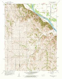
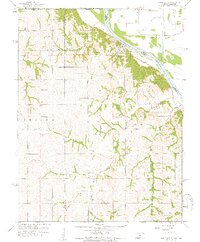
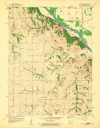
Editions of this 1959 White Cloud Map
4 editions found
Other maps of this area

1885 · Atchison
USGS Topo · 1:125,000

1888 · Atchison
USGS Topo · 1:125,000

1893 · Atchison
USGS Topo · 1:125,000

1920 · Craig
USGS Topo · 1:62,500

1926 · Oregon
USGS Topo · 1:62,500

1926 · Maitland
USGS Topo · 1:62,500

1950 · Kansas City
USGS Topo · 1:250,000

1954 · Kansas City
USGS Topo · 1:250,000

1955 · Nebraska City
USGS Topo · 1:250,000

1956 · Kansas City
USGS Topo · 1:250,000