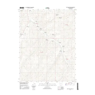
2016 Map of White Coyote Draw
USGS Topo · Published 2016About this map
W Douglas Cr and E Douglas Cr converge in this high-desert drainage system, illustrating the intricate network of canyons and draws that define the Rio Blanco County topography. The landscape is marked by numerous family and descriptive landmarks, such as Calf Canyon, Horse Pasture Canyon, and Coal Draw, which suggest the historic land use for ranching and resource extraction in this corner of Colorado. The presence of Co RD 27 and 139 provides the primary access through this dissected terrain, following the natural paths carved by the watercourses. Further south, Cathedral Cr winds through the canyons, while features like New Mexico Draw and White Coyote Draw reflect the localized naming traditions of the area's early inhabitants.
Find a feature on this map
29 named features on this map. Tap any name to fly to it.
Don’t see what you’re looking for? This feature index may not catch every label — zoom into the map to look around manually.
Map Details
Editions of this 2016 White Coyote Draw Map
This is the sole edition of this map. No revisions or reprints were ever made.
Other maps of this area

1956 · Grand Junction
USGS Topo · 1:250,000

1959 · Grand Junction
USGS Topo · 1:250,000

1960 · Grand Junction
USGS Topo · 1:250,000

1962 · Grand Junction
USGS Topo · 1:250,000

1964 · Grand Junction
USGS Topo · 1:250,000

1964 · Brushy Point
USGS Topo · 1:24,000
1964 · Philadelphia Creek
USGS Topo · 1:24,000
1964 · Water Canyon
USGS Topo · 1:24,000

1964 · Black Cabin Gulch
USGS Topo · 1:24,000
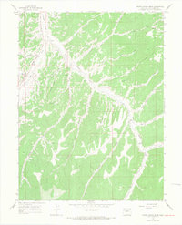
1964 · White Coyote Draw
USGS Topo · 1:24,000