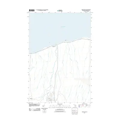
2011 Map of White Pine
USGS Topo · Published 2011About this map
Lake Superior defines the northern edge of this Upper Peninsula landscape, where the lake meets the shoreline at Union Bay and Gull Point. Moving inland, the drainage pattern reveals a series of north-flowing waterways including the Big Iron River, Mineral River, and Little Iron River. The settlement of Silver City sits near the coast, while further south, the street grid of White Pine is organized around thoroughfares like Michigan Ave and Main St, anchored by the White Pine Post Office.
Find a feature on this map
31 named features on this map. Tap any name to fly to it.
Don’t see what you’re looking for? This feature index may not catch every label — zoom into the map to look around manually.
Map Details
Editions of this 2011 White Pine Map
This is the sole edition of this map. No revisions or reprints were ever made.
Other maps of this area

1949 · Matchwood NW
USGS Topo · 1:24,000

1949 · White Pine
USGS Topo · 1:24,000

1949 · Bergland NE
USGS Topo · 1:24,000

1955 · Ontonagon
USGS Topo · 1:62,500

1956 · Bergland NE
USGS Topo · 1:24,000

1956 · Bergland
USGS Topo · 1:62,500

1956 · White Pine
USGS Topo · 1:24,000

1956 · Matchwood NW
USGS Topo · 1:24,000

1956 · White Pine
USGS Topo · 1:62,500

1956 · Matchwood
USGS Topo · 1:62,500